
PURE INSIGHTS SOLUTION
EarthIQ View
Terrain Intelligence
Terrain and location intelligence that brings geospatial, site and operational information together in a visual context.
OVERVIEW
Purpose-built intelligence.
Designed around the operation.
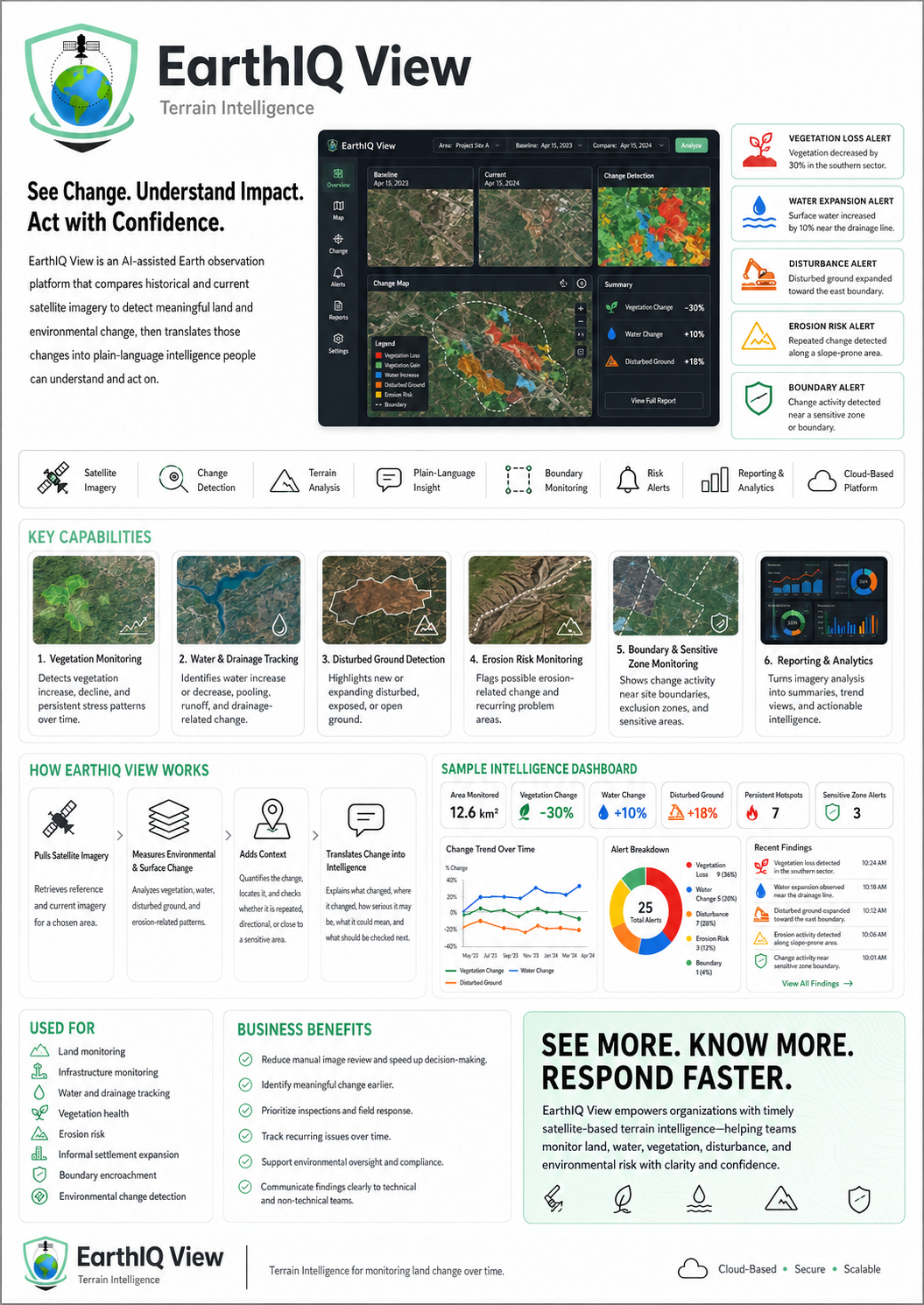
EarthIQ View is designed for environments where location and terrain context matter. It can bring maps, site information, operational layers and selected data sources together so teams can understand what is happening and where.
KEY CAPABILITIES
What EarthIQ View can help you see and manage.
01
Terrain and site visualisation
02
Map-based operational layers
03
Location intelligence
04
Asset and event context
05
Multi-site views
06
Custom reporting and integration
IDEAL FOR
Built for environments where better visibility creates better decisions.
MiningInfrastructureUtilitiesEnvironmental OperationsLarge SitesRemote Operations
01 • ASSESS
Understand the requirement
We define the operational problem, environment, cameras, data and outcome required.
02 • DESIGNBuild the right solution
We select the appropriate software, analytics, hardware and integration approach.
03 • DEPLOYTurn information into action
Alerts, dashboards, evidence and reporting are delivered to the people who need them.
EARTHIQ VIEW
Want to see how EarthIQ View could work in your environment?
Talk to Pure Insights about your site, cameras, workflow and deployment requirements.